
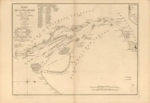
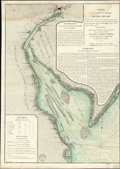
A chart of Delaware Bay and River : from the original /
01/01/1776 · Library of Congress
Get the image
Need to prove or clear it?
Documentation for your legal or production needs
Summary
Nautical chart showing shoals, tidal flats, ship channels, shoreline anchorages, and port towns up to Philadelphia.
Oriented with north to the right.
LC copy imperfect: Mounted on cloth backing, fold-lined, trimmed at lower edge.
LC Maps and charts of North America and the West Indies 1750-1789, 1372
Includes bar scales in statute and nautical miles.
Available also through the Library of Congress Web site as a raster image.
2 copies
Tags
Date
01/01/1776
Contributors
Fisher, Joshua, 1707-1783.
Source
Library of Congress
Copyright info
Public Domain



![Map showing the route of the late expedition, commanded by Rear Admiral Porter, U.S.N., in attempting to get into the Yazoo River by the way of Steel's Bluff [i.e., Bayou] and Deer Creek.](https://cache.getarchive.net/Prod/thumb/cdn4/L3Bob3RvLzIwMTkvMDkvMjkvbWFwLXNob3dpbmctdGhlLXJvdXRlLW9mLXRoZS1sYXRlLWV4cGVkaXRpb24tY29tbWFuZGVkLWJ5LXJlYXItYWRtaXJhbC1wb3J0ZXItZWE5NjVmLTY0MC5qcGc%3D/512/280/webp "Map showing the route of the late expedition, commanded by Rear Admiral Porter, U.S.N., in attempting to get into the Yazoo River by the way of Steel's Bluff [i.e., Bayou] and Deer Creek.")